Cyber Security News Aggregator
.Cyber Tzar
provide acyber security risk management
platform; including automated penetration tests and risk assesments culminating in a "cyber risk score" out of 1,000, just like a credit score.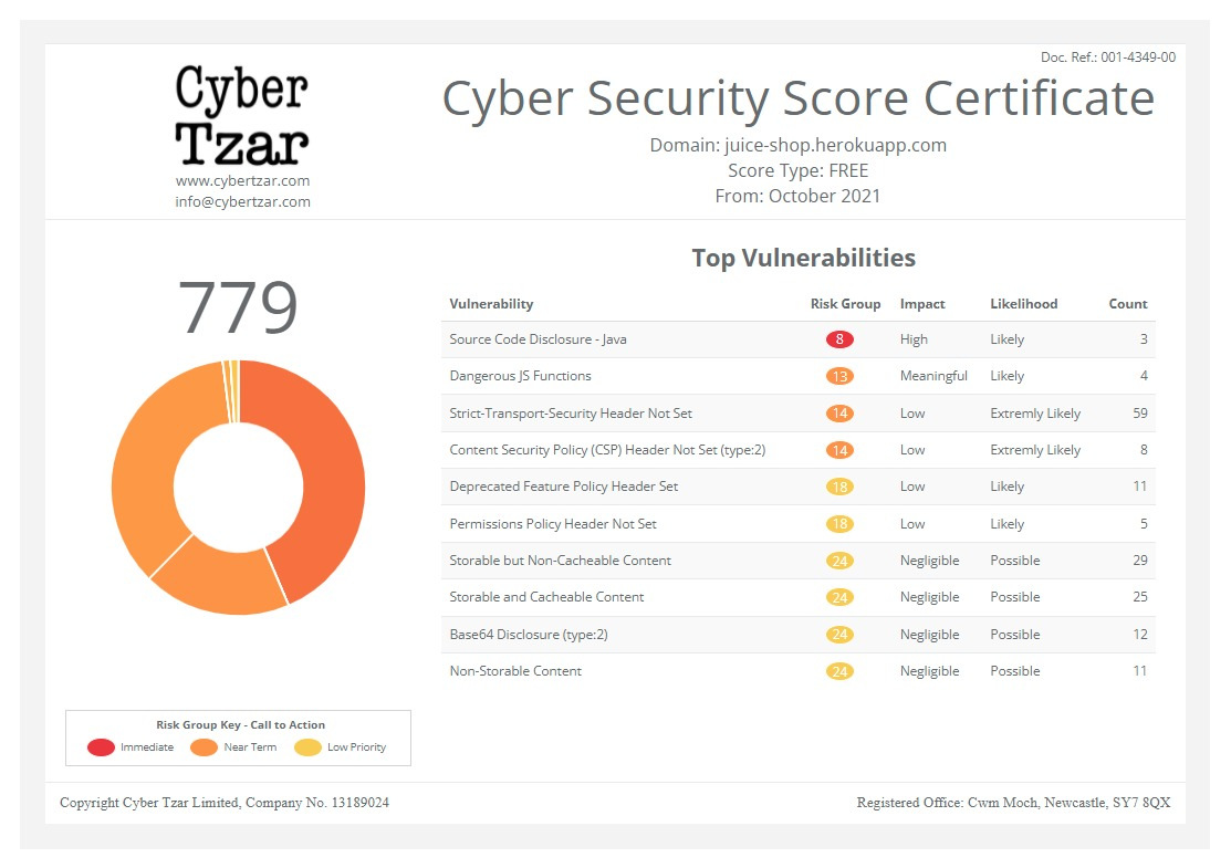
First slide label
Some representative placeholder content for the first slide.
Second slide label
Some representative placeholder content for the second slide.
Third slide label
Some representative placeholder content for the third slide.
Drone and USV detection for port-surveillance systems
published on 2026-10-09 06:30:00 UTC by Mark FletcherContent:
Rob Helliar, Head of Customer Solutions at Cambridge Pixel, outlines how integrators can update port security systems to detect UAS and USVs, without starting from scratch.
Security system integrators must increasingly adapt to new infrastructure threats, with airborne drones (UAS) involved in many recent incidents around critical national infrastructure. Coastal locations also face the potential threat of Uncrewed Surface Vessels (USVs).
Most ports operate a surveillance system built around 2D maritime radar, CCTV, the maritime Automatic Identification System (AIS) and an operator display.
Extending it to detect and track drones and small USVs is possible but requires a thorough review of the surveillance system to determine any new sensor selection and integration, as well as changes to algorithms, alarm configuration and operator display software.
Adding 3D radars to the sensor suite
The existing 2D marine radar is the starting point. Its plot extraction and tracking are configured for a range of standard surface vessels. Some radar trackers, such as Cambridge Pixel’s SPx Server, can apply additional target models to detect more specific types of contacts. Potentially one for small, slow, low-cross-section air targets; or another for fast, low-freeboard craft travelling towards the port.
It is a low-cost first step but with limitations. Most marine radars are 2D, providing no elevation information. With a 2D radar, an uncrewed aerial system (UAS) at 60 metres and a bird at 10 metres may provide similar returns… or not be seen at all.
A hovering UAS can be indistinguishable from a stationary surface object. A 3D radar, however, adds elevation, separating air from surface targets and providing a height for camera cueing.
Other sensors can help to detect the new threats, but all have limitations. For example, passive RF sensors can detect the drone control link, but they will not detect autonomous or satellite-controlled craft.
Electro-optic/Infra-red cameras provide visual confirmation and classification day and night, either automatically or by the operator, but have a narrow field of view and are best when cued from a radar or other sensor.
Ports will also often have AIS receivers for vessel-transponder information, but they may also need to add ADS-B receivers for aircraft transponders to allow the system to ignore cooperative aircraft when searching for low-flying drones.
Overcoming interfacing challenges
Each sensor type typically presents a different interface; a radar system’s output differs greatly from that of a camera or an RF direction finder. Even within a sensor type, such as radar, interfaces can vary widely. Legacy radars often output analogue radar video signals, which require specialist digitising hardware.
Many modern radars provide a digital output, sometimes in an open format, notably ASTERIX CAT-240 for radar video or CAT-48 for tracks, which many systems can accept. Others output in the manufacturer’s proprietary formats, so feeding them into an existing system requires format conversion using intermediary software.
A newly emerging format is SAPIENT, an open standard originating from the UK Ministry of Defence (MoD) Defence Science and Technology Labs (DSTL). This open standard was recently adopted by NATO for sensor integration in counter-UAS systems. SAPIENT detection reports are sensor-agnostic, so the same interface format can connect to a range of sensor types.
Fusing sensor data is essential
Each sensor that observes and tracks a target will assign it a unique identity. When several sensors observe the same target, it should appear as one track, with one identity. Furthermore, that identity must persist as the target moves between sensor coverage areas. Any new sensors added must feed into this.
Sophisticated fusion software can achieve this by taking the most reliable information from each sensor to create a fused track, while preserving the source data. It maintains a single global track ID across many sensor inputs.
Existing alarms will also need to be configured to the behaviours of new threats. This may involve taking additional information from sensors, such as height from a 3D radar or drone type from an RF sensor, and combining it with the position, speed and heading already available from the track.
Finally, the operator-display software will need to present air and surface tracks, show height for air targets and present camera video alongside the chart. Existing displays may need updating to accept 3D track data, support cueing cameras by bearing and elevation, and show the new alarm zones and types.
Conclusion
With additional sensors and flexible software modules, integrators can update existing port security systems to detect drones and USVs effectively.
Cambridge Pixel has spent the last decade developing an extensive range of flexible and highly configurable radar/sensor processing, tracking and display solutions for maritime integrators, to enable them to quickly and cost-effectively add these kinds of advanced capabilities to their surveillance systems.
https://securityjournaluk.com/drone-usv-detection-for-port-surveillance/
Published: 2026 10 09 06:30:00
Received: 2026 10 13 13:18:40
Feed: Security Journal UK
Source: Security Journal UK
Category: Security
Topic: Security
Views: 0
